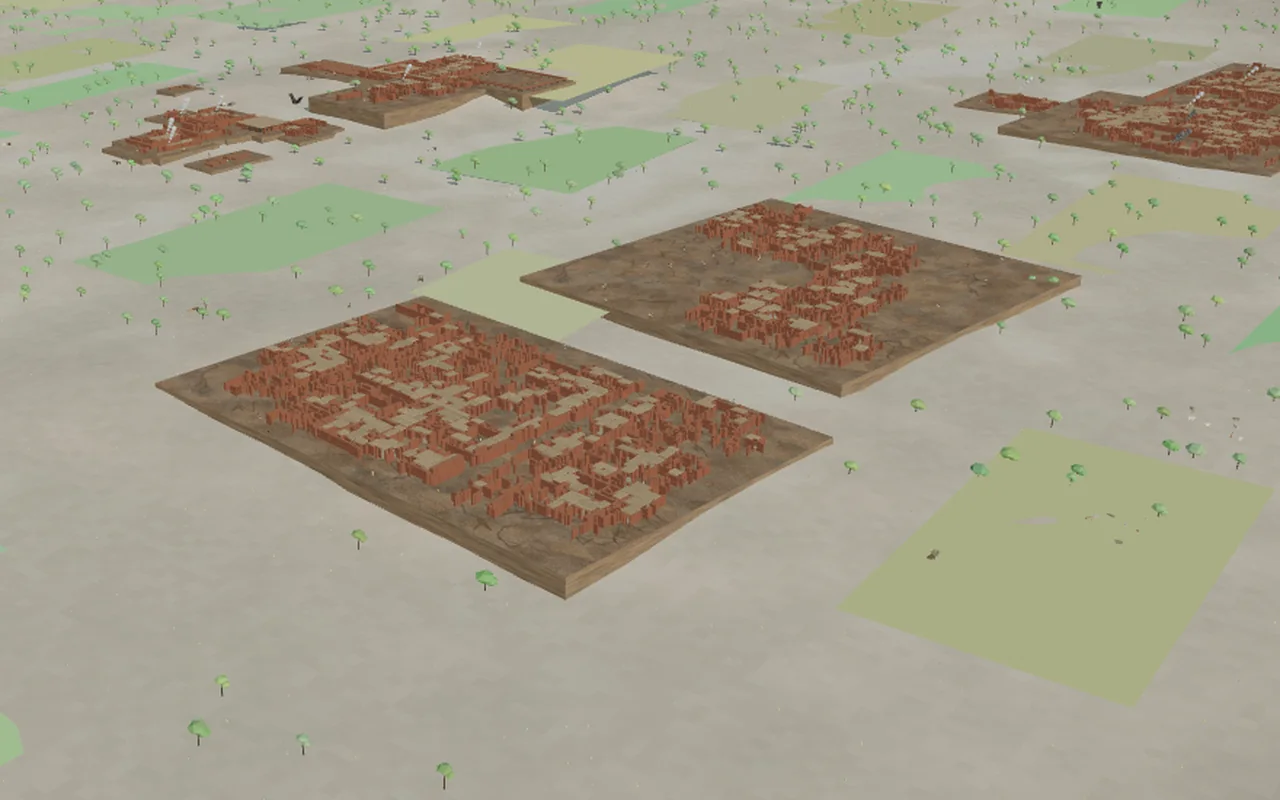
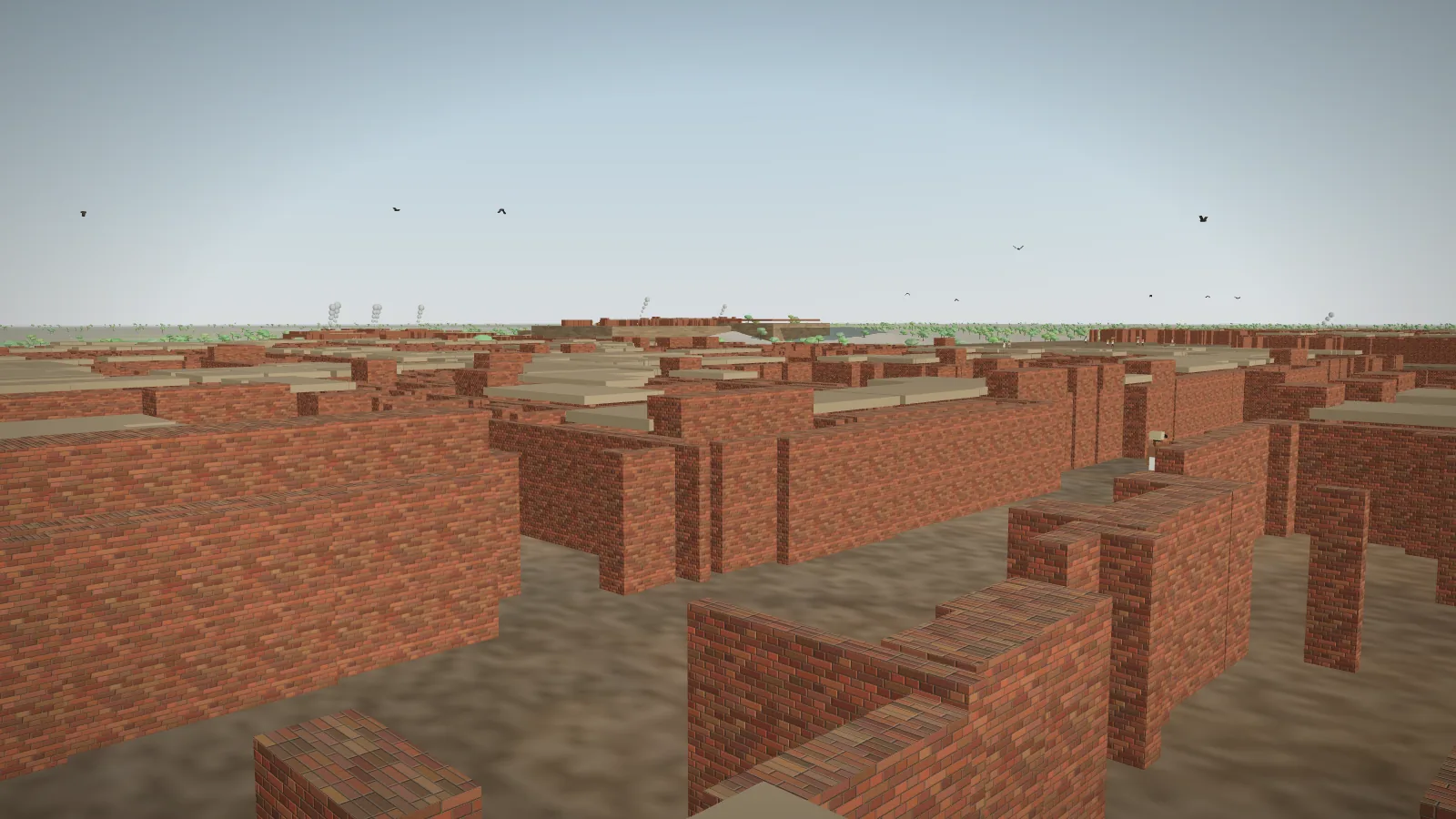
Moenjodaro 3D is a browser-based 3D reconstruction of Mohenjo-daro, built by Larkode from published excavation plans (Marshall 1931, Mackay 1938, Wheeler 1953) and open terrain and satellite data. Seventeen pieces are traced so far: the Great Bath, the Granary, the stupa mound, the College, the Columned Hall and the other Citadel buildings, and in the lower town the HR area, DK-G, the VS area and four DK sections. Two of the seventeen are outlines read from Wheeler’s published plan: a west tower and the south-east fortification. Their plan sheets cover about 14 hectares, counting each sheet’s whole outline and not only its walls, which is under 6 % of the 240 ha World Heritage property. The rest of the city is not drawn.
- Two views: “Documented remains” (traced walls at one placeholder height) and “How it may have looked” (a hypothetical reconstruction of the Mature Harappan period, c. 2600 to 1900 BCE).
- 125 evidence records, each with a level from A (surveyed) to E (hypothesis) and a source. Every decision is logged in an open paradata file.
- Walk through the streets on desktop or phone, with a mini map, day and night, a flood-season switch and optional ambient sound.
What the model can and cannot tell you
The model is a historical desk review. It has not yet been reviewed by an Indus archaeologist. The positions of the pieces are good to about 5 to 12 m for most pieces, and to about 25 m for four of the DK sections (A, B, C and E). All positions are measured relative to the Great Bath, which is itself good to about 5 m. Wall heights, roofs, people, animals, boats, trees and the river are illustration, not evidence.
We are looking for an Indus archaeologist to review the model and for access to further plans.
Sources
Excavation plans by Marshall (1931), Mackay (1938) and Wheeler (1953). The Aachen survey (Jansen and Urban, Interim Reports) for the orientation of the pieces. Terrain from the Copernicus DEM, satellite imagery from Sentinel-2, and map data from OpenStreetMap. Esri World Imagery was viewed, not redistributed, to place the pieces.
Technology
Three.js (WebGL), open geodata (Copernicus DEM, Sentinel-2, OpenStreetMap / Overture Maps), a Python data pipeline, hosted on Cloudflare.
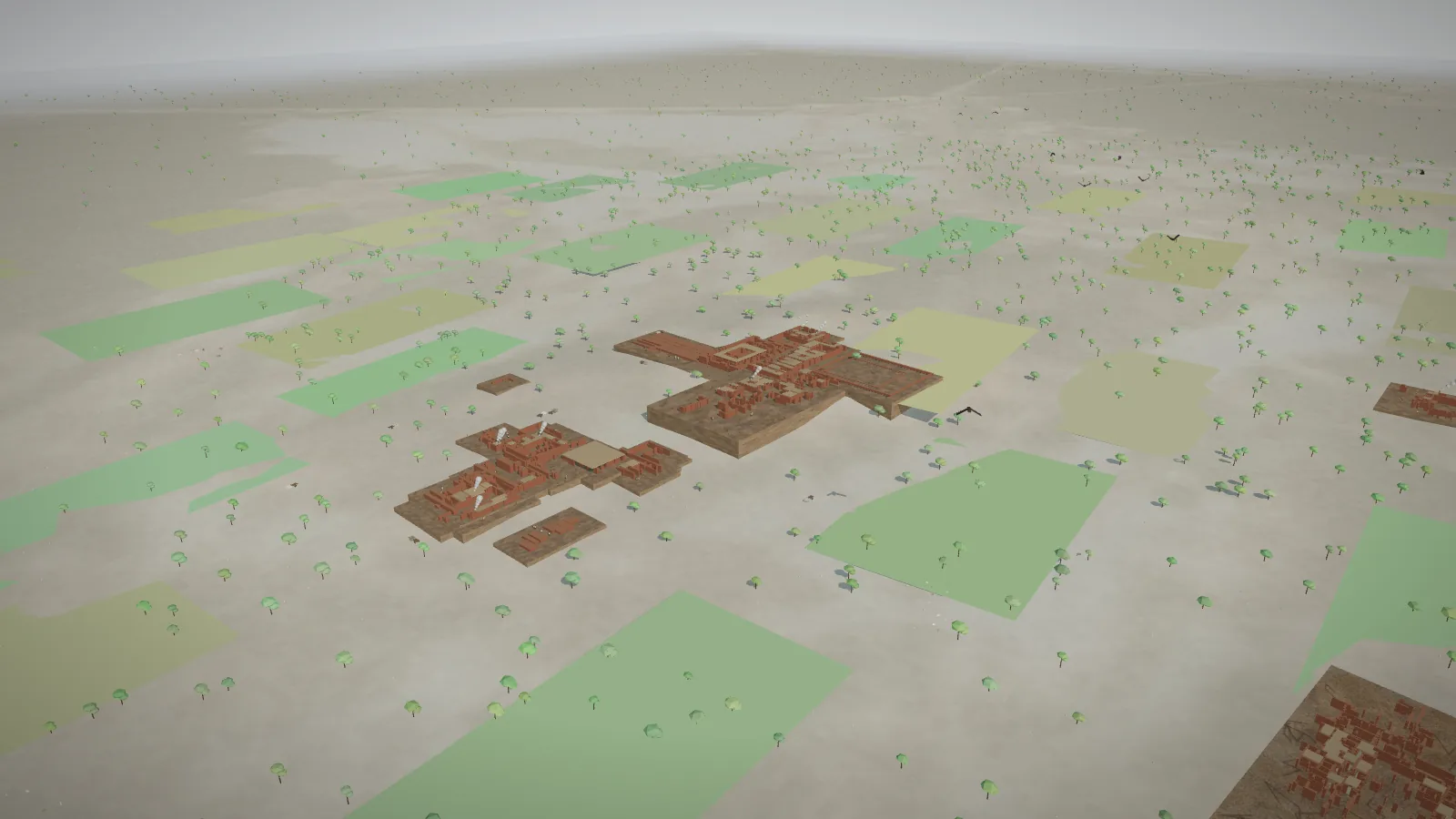
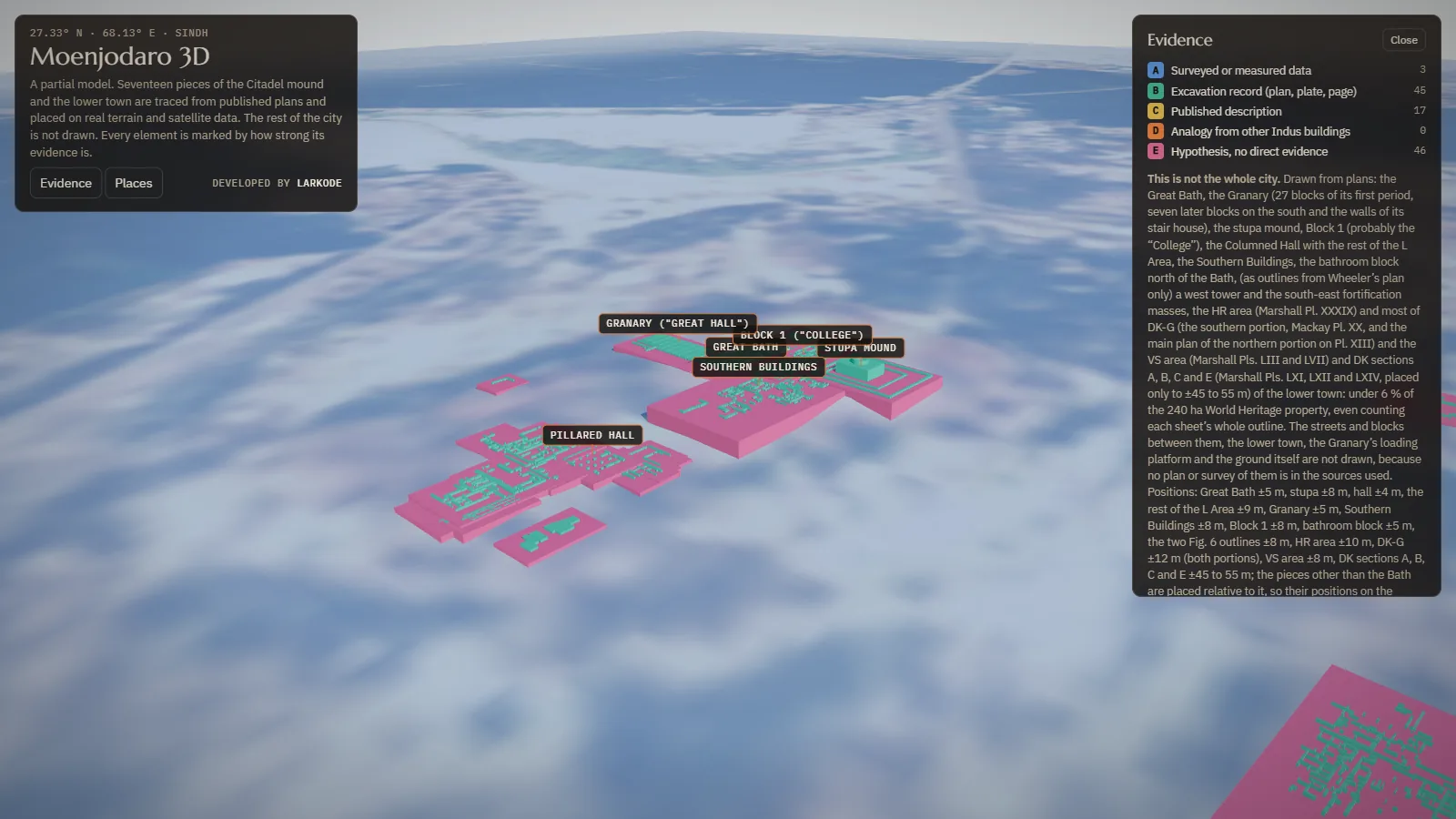
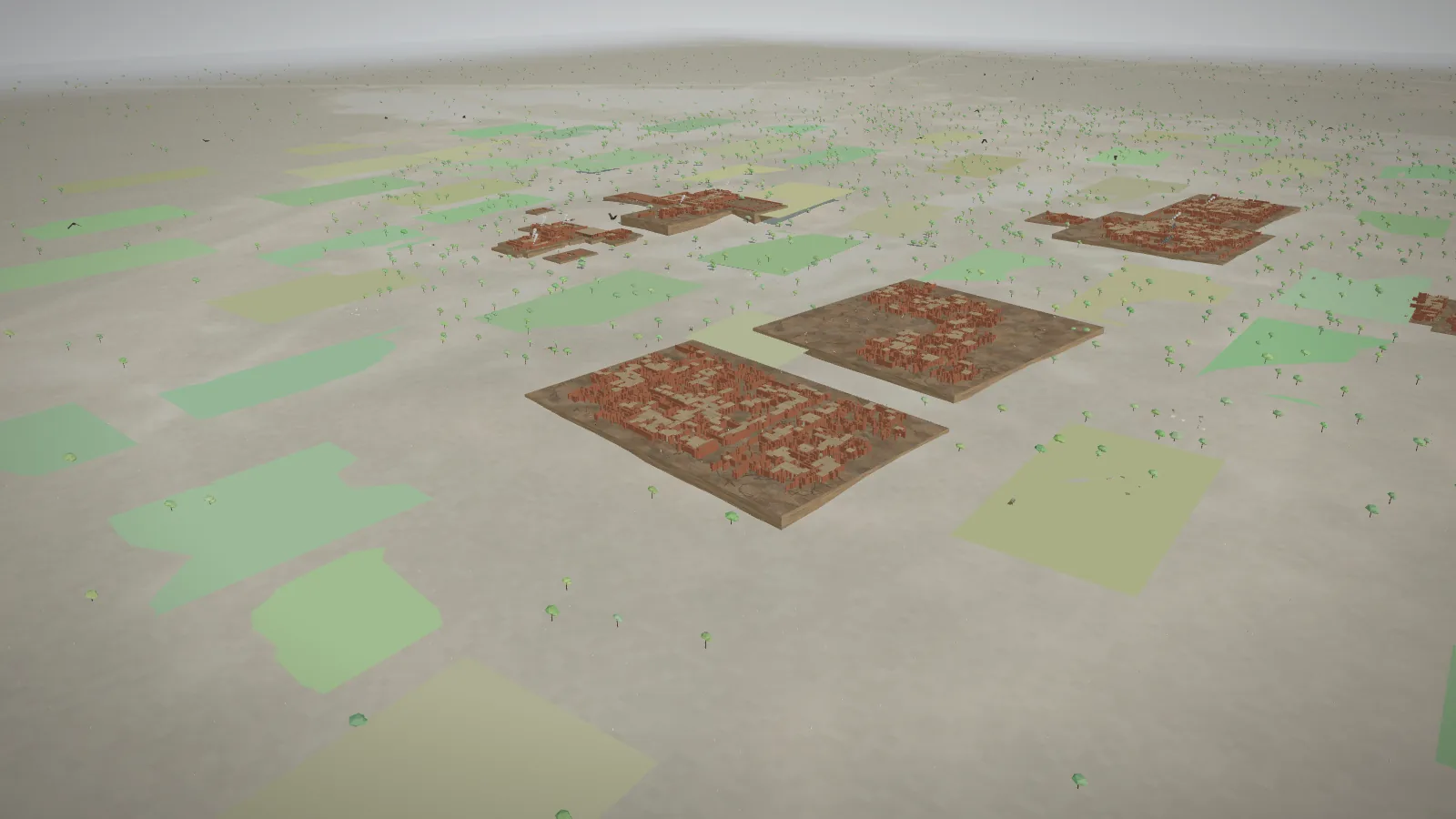
Contains modified Copernicus Sentinel data 2026. Map data © OpenStreetMap contributors.
Help build the next phases
The first pieces of the Citadel and the lower town are in place. Next come a drone survey of the site, the rest of the Citadel mound, and eventually the whole city. We welcome archaeologists, museums, universities and heritage organisations who want to take part, and we build evidence-based 3D reconstructions for other heritage sites too.
Talk to us about heritage in 3D