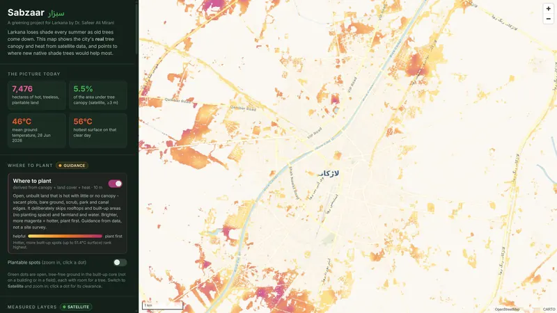
Maps urban heat and tree canopy across a whole city from satellite imagery, with deep-learning tree detection.
Work with us on Sabzaar
Use SabzaarGet Sabzaar running in your organisation, set up and supported by us.Get it →Adapt it to youYour own forms, rules, reports, languages and branding, or something new built on the same base.Tell us what you need →Partner with usBring it to your region, collaborate on research, or join the team that builds it.Start a conversation →